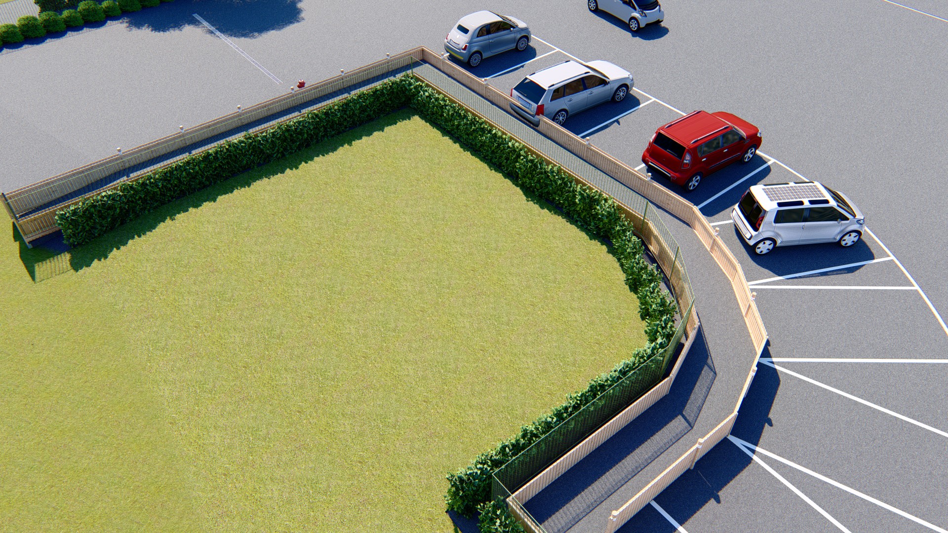
Citymap & 3D Urban Planning

Large-scale modeling and territorial visualization

Citymap

Visualize your urban projects with precision, clarity, and impact through territorial and cartographic 3D modeling.

High-quality assets for Professional Architects

Urban Modeling

We design smart and connected urban environments. From neighborhood planning to City Information Modeling (CIM), we transform geospatial data into precise 3D models for contextual analysis and strategic decision-making.

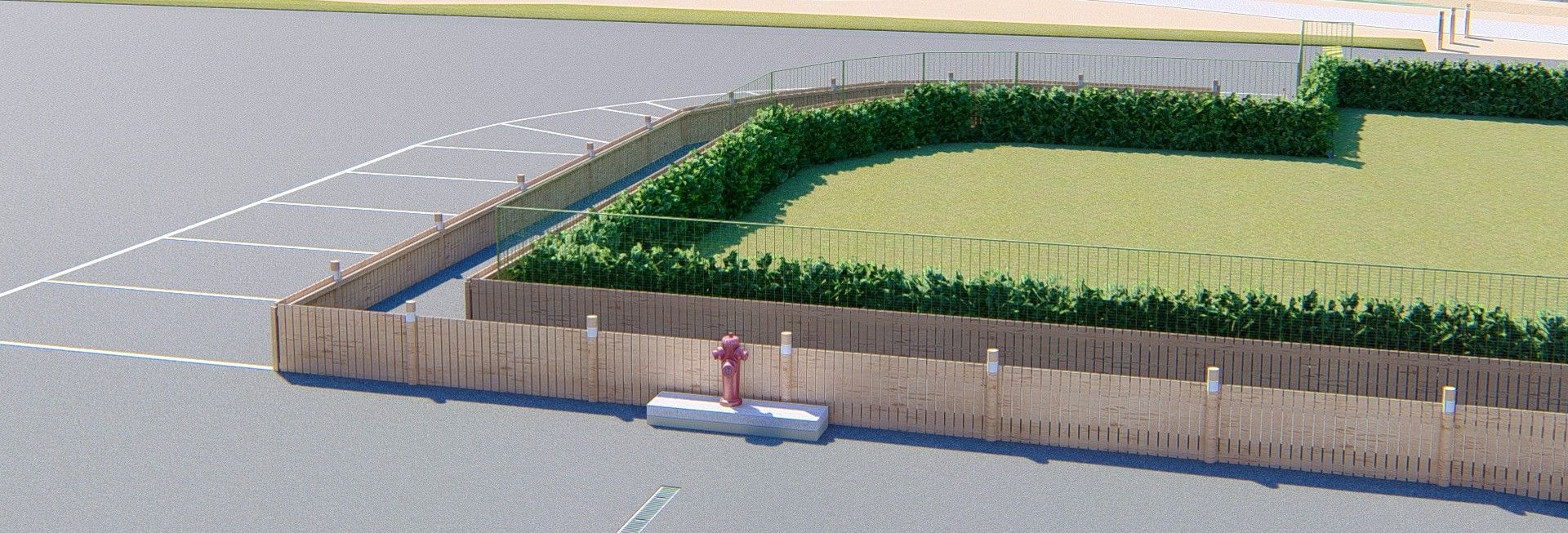
  • Context Analysis Integration of precise GIS and topographic data
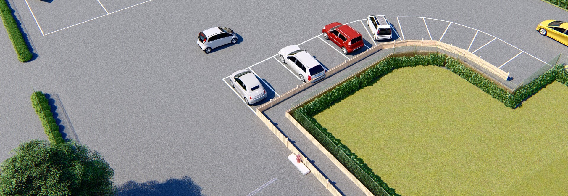
  • BIM Master Planning Large-scale digital development models
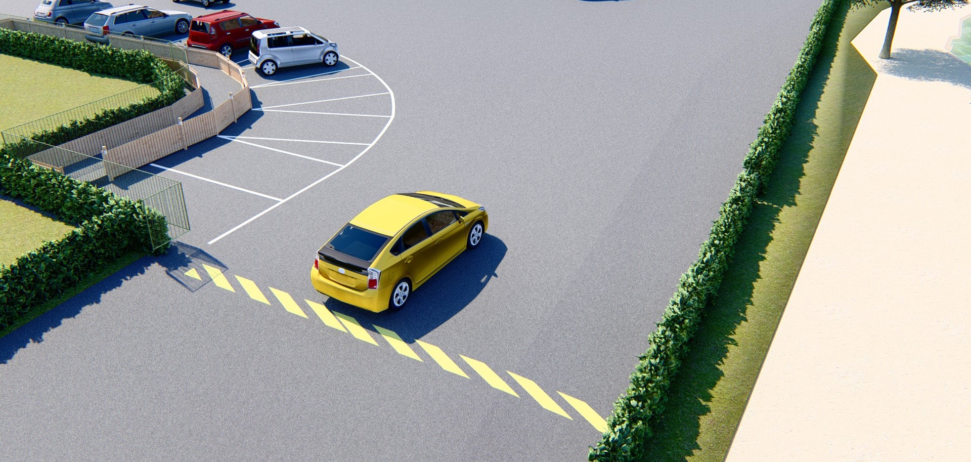
  • Mobility & Flows Simulation of transport networks and infrastructure
  • Urban Sustainability Sunlight studies and environmental impact assessments
Urban Map 1
Urban Map 2
Urban Map 3
Urban Map 4

Methodology & Standards

  • Modeling compliant with GIS and BIM standards
  • Geospatial data integration (GeoJSON, SHP)
  • Multi-scale visualization: building, neighborhood, and city levels

Software Stack

  • Revit & ArchiCAD for BIM integration
  • Twinmotion, Lumion, & V-Ray for urban rendering
  • Advanced processing of spatial data

Applications & Benefits

  • Public presentations and community engagement
  • Urban planning and visual impact simulations
  • Support for technical feasibility studies
  • Institutional communication and territorial marketing

Need a reliable BIM partner?

At Alldesign, we combine technical rigor and attention to detail to deliver BIM models ready for use.

📩 Request a quote at: contact@alldesign.com